Class notes
Introduction to geological Map interpretation
- Course
- Institution
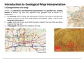
A map is a scaled-down, two-dimensional representation of a specified area, showing features of interest, e.g. road map, vegetation map, or geological map. It consists of 3 components: This document shows ways to interpret a given geological map and construct and geological cross section.
[Show more]